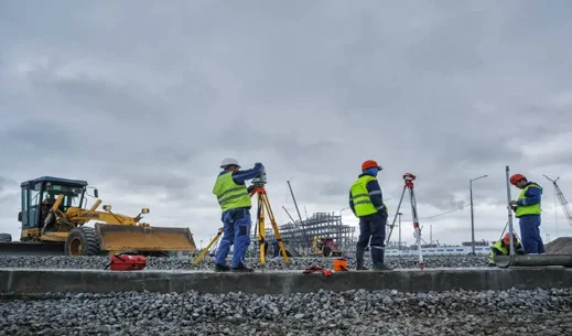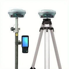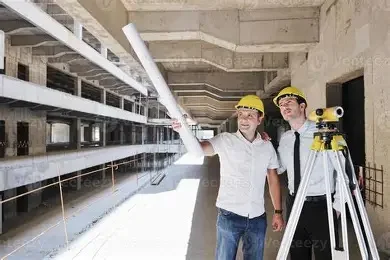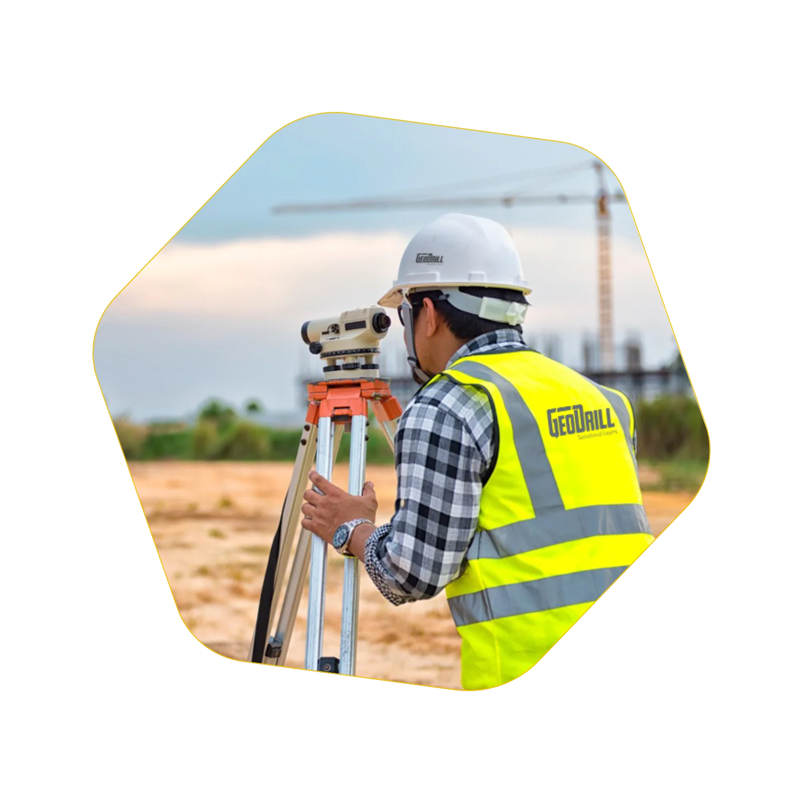
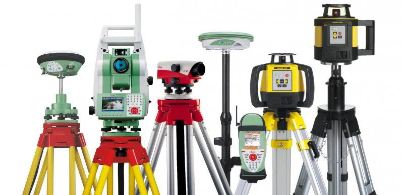
GEODRILL is proud to deliver high-precision topographic surveying services across the Kingdom of Saudi Arabia, supported by a team of qualified professionals and state-of-the-art equipment. Our capabilities include the use of advanced technologies such as GPS, GIS, drone mapping, and mobile mapping systems. With well-established infrastructure and extensive experience in engineering and construction projects, we provide accurate, cost-effective, and reliable survey solutions tailored to the specific needs of our clients. Our services support all phases of infrastructure and development projects, ensuring compliance with the highest technical and industry standards.


List Of Activities:
01. Land record projects.
02. Site surveying Cadastral detailed water systems and Sanitary drainage works.
03. Site surveying for roads and infrastructure.
04. Setting out the structural plans.
05. Establishment of geodetic networks.
06. Setting out the approved plans in the site.
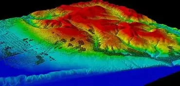
07. Site survey topographic , Detailed cadastral , contour map ,and grid elevation.
08. Matching Establishment of title in the site.
And all other surveying works includes but not limited to :
01. Drone survey.
02. Mobile Mapping.
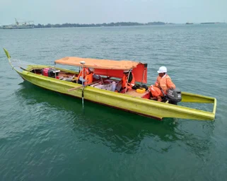
03. Bathymetric Survey.
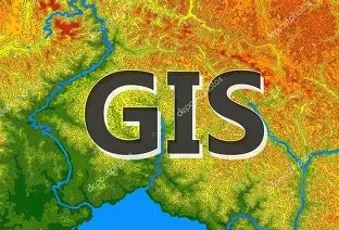
04. Geographic Information System ( GIS ).
05. Remote Sensing.
06. Urban Planning.
07. Information Technology.
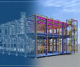
08. Building Information Modeling ( BIM ).
09. Architectural survey.